Heat and dryness in summer 2025–26 contributed to fire risk
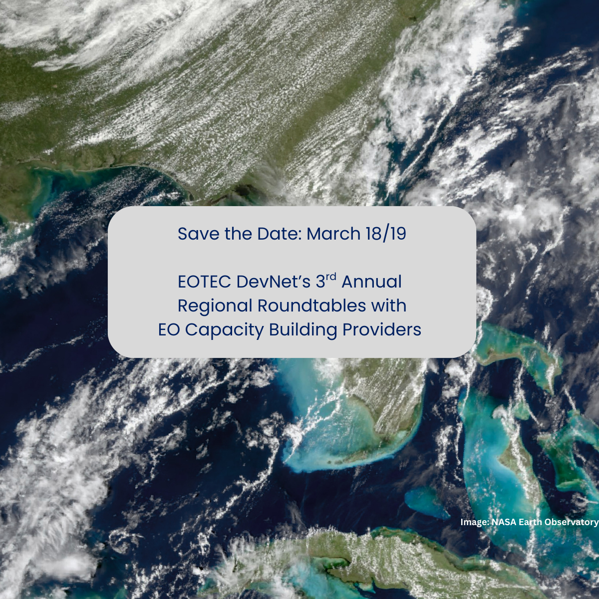
EOTEC Event
Save the Date: EO Training Providers to Share 2026 Plans
Four meet-ups with global and regional agencies

Events

EOTEC Event
Catch Up on SAR and NISAR for Flood Monitoring
Experts shared a wealth of information at EOTEC DevNet’s recent regional flood meet-ups.

Call To Action
Annual Survey Still Open – Have Your Say!
There’s still a week left to complete our annual survey! The survey offers all EOTEC members and friends a chance to tell us what is: